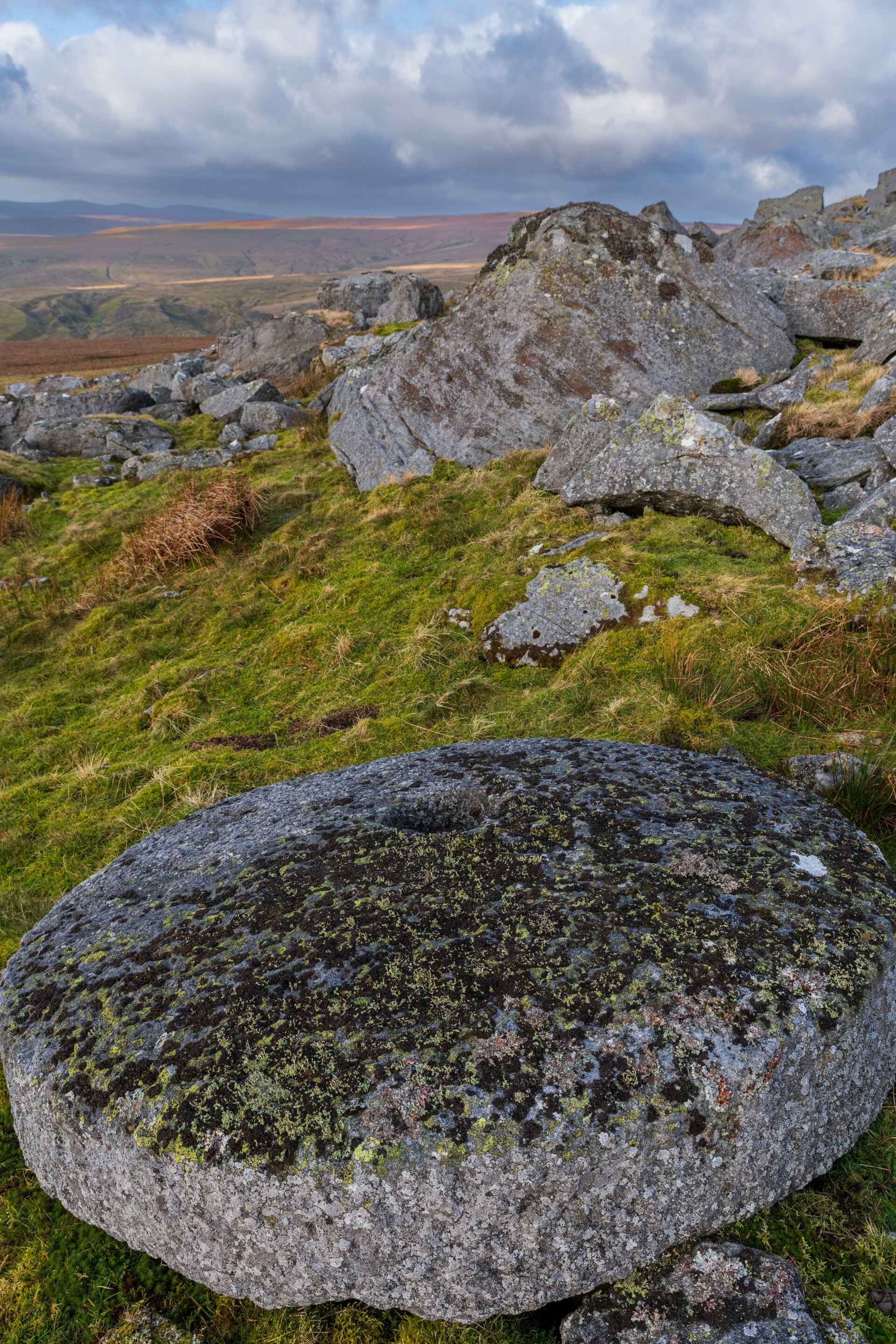
Millstone at Carr Crags
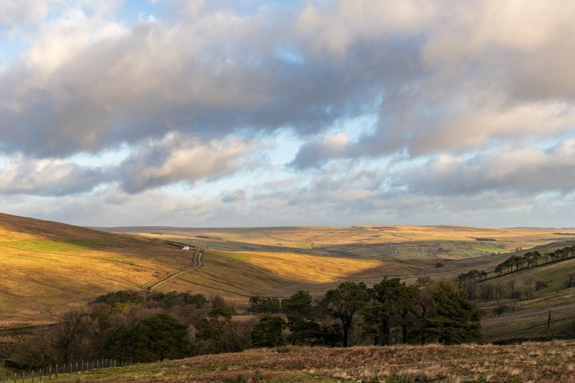
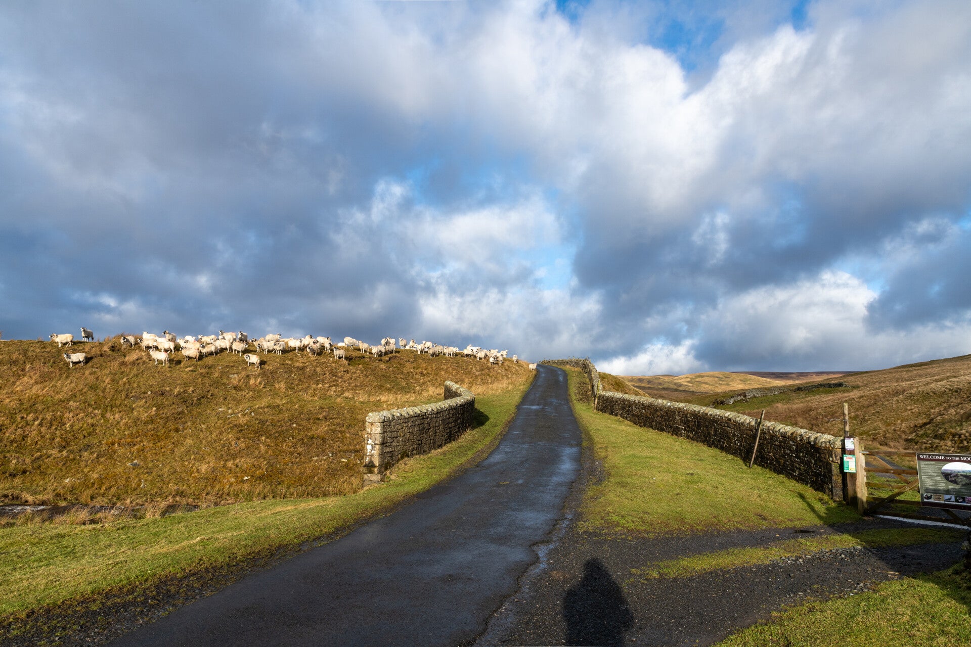
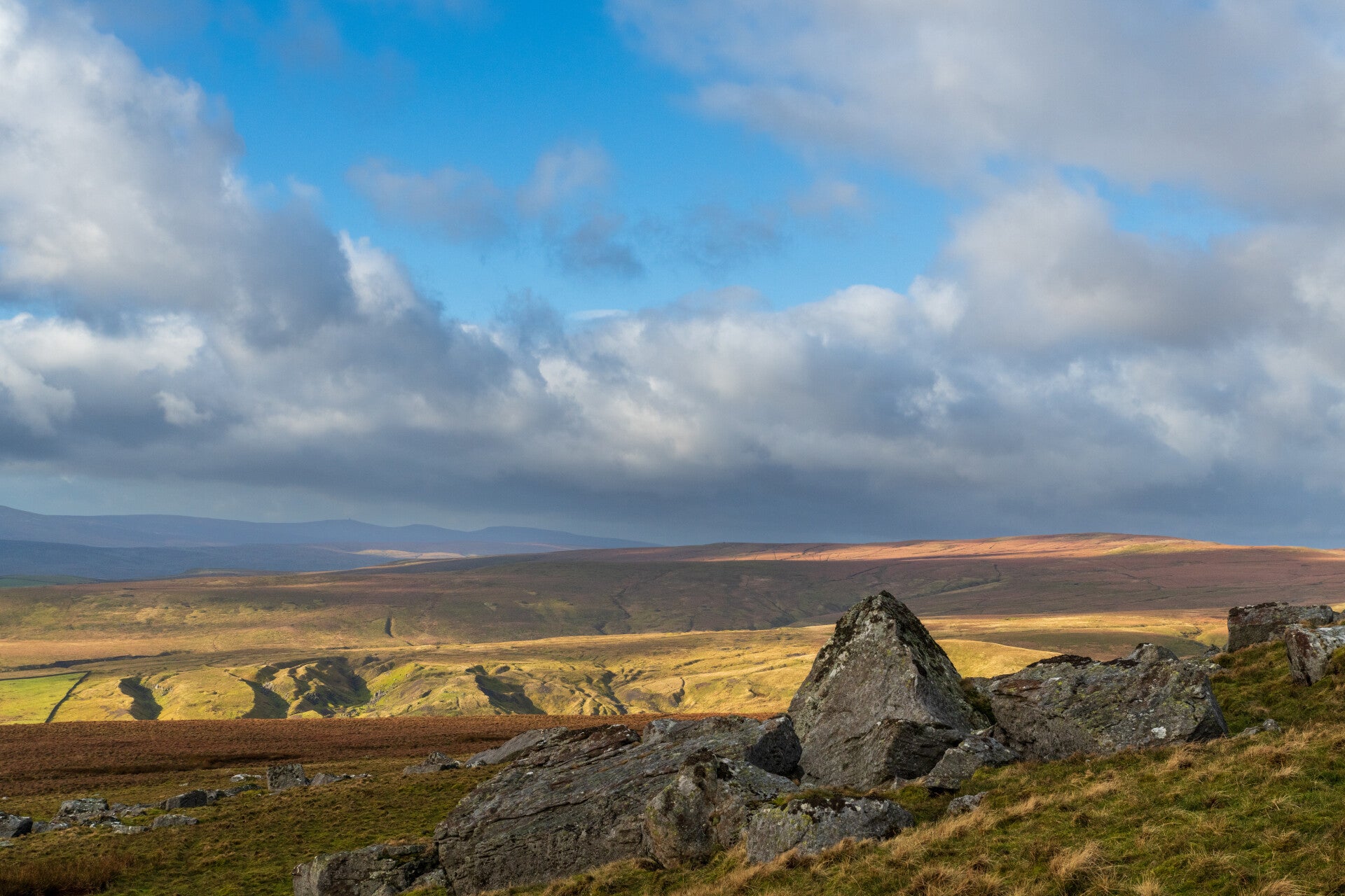
When I arrived in Edmundbyers the new books I ordered were already waiting for me. Durham Rocks is one of a series of three books showing rocky places in County Durham, Northumberland and Cumbria. Carr Crags is however only shown on that photo on the entry pages and it is for some strange reason not one of the 50 places listed by Ian Jackson. I managed to find it on the map and decided to only scout it for a visit in better weather. I took a small road from Westgate in Weardale across to Newbiggin in Teesdale. On the way there I stopped near the Ski Tow on Swinhope Moor and decided this would be a great place to come back to. Note the three deer in the first picture looking back towards Weardale. In the distance you can even make out Crawley Side above Stanhope with the road leading over towards Edmundbyers. The first heavy snow shower came soon after the first pictures were taken and I continued across the top and down the small tarmac track towards Newbiggin. As the weather got better again I checked the map and saw up on the hillside what looked like the quarry (picture no 4 gives a good overview of my later route). I parked my car at Watson´s bridge across Flushiemere Beck (funny spelling but correct acc. to OS). There was a big gate. I followed the beck for only a few yards and than continued up the hill on a track in the boggy terrain (The photo showing the boggy ground shows a box being used for grouse feeding). Not being able to see the Crag which was hidden by a small hump I went to the left and made for a stone wall that went uphill. The views back were magnificient and once I gained height I could see Great Dunn Fell with its big Radar and Cross Fell on the right. It was a hard climb up. The wind was howling (but fortunately blowing me up the hill) and twice short snow showers were making it even more difficult. I finally could see the quarry up on the hillside but there was no place to cross the high stone wall. I decided to go to the top where the stone wall levelled out. If I could not find a passage I would call it a day and come back another day trying to be on the left side of the wall. Luck had it that at the very top the wall had tumbled next to a small stream and I could crawl onto the other side. From there it was only a few hundred yards to the quarry.
The wind increased but the views were fantastic. I managed to find the exact spot of the photo in the book and fired away with the camera. No weather to actually look for the best composition though. The howling wind made it really difficult. With my phone I stood on a rock to take a video. The wind just grabbed me and threw me back. Luckily I found solid ground behind me otherwise I might be still lying up there.... On the way back I was facing the strong wind the whole time which made the descent almost harder than climbing up. I was tired out when I reached the car but happy that I made it. I am looking forward to go up there on a mild summer evening. The photos are in chronological order going up. No photography possible on the descent :)
P.S. On one photo I include a "Shake hole". They are caused by the intensive mining that took place in the area. If you see the remark "Area of Shake Holes" on an OS Map you know what to expect.