High Cup Nick from Murton
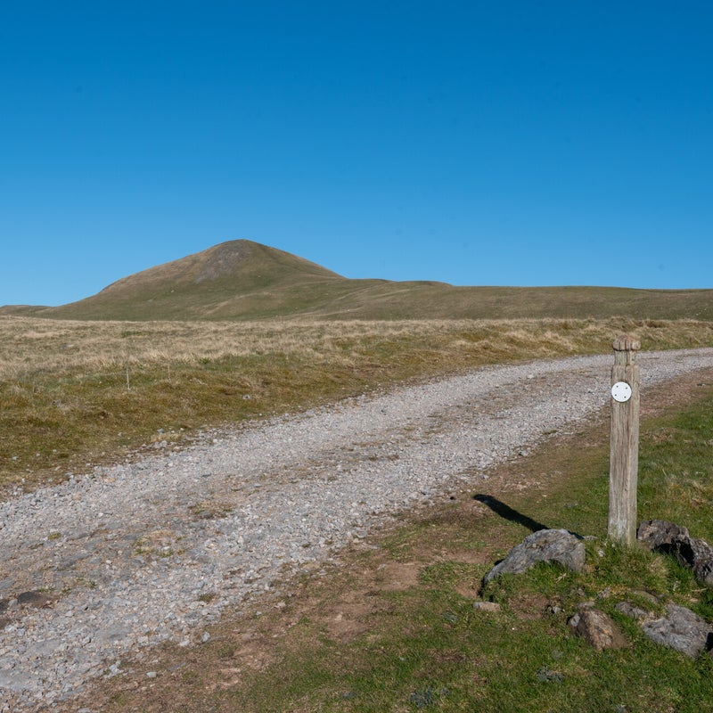
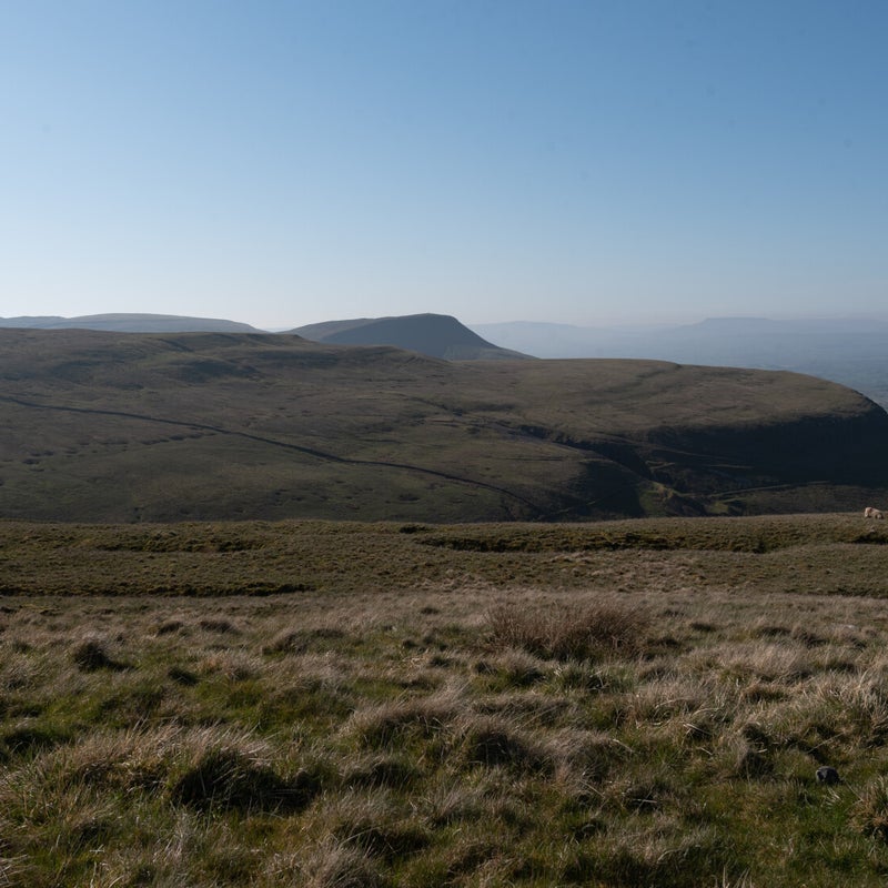
The weather forecast for Friday was consistently good and most important came true. So the plan to do High Cup Nick was put into action. I left Curlew cottage at 7 in the morning and had to clear the windscreen from ice. It was -2 degrees! But the whole day there was not a single cloud and I was thankful to Oounagh who reminded me of taking a hat the evening before. I drove to the small carpark outside Murton which directly brings you to the track that leads up to Murton Pike photo #3 shows the gate out of the car park and Murton pike with the track leading upwards in front of it. The view looking back was great though the Lake district Mountains were still in the mist. On photos #6 and 7 during my first rest you can vaguely see Wild Boar Fell in the distance. I bypassed Murton Pike and continued up towards High Cup Nick on the wide gravel track. So far I only met two early dog walkers at the start of the walk. Otherwise not a single soul in sight! After a while the track turned sharply right. A small track went straight on. From my sense of direction I knew I had to follow the small track. This track however soon fizzled out and I only followed my sense of direction towards the intended target. It was a long struggle uphill through rough terrain. If the weather had been wet I could not have made it. I reached the top far too high up and saw High Cup Nick in the distance much lower down photo #8. I was quite tired and was glad to make it to High Cup Nick after 2 1/2 hours! It was midday and the sun was really making an impact. I fortunately had enough to drink with me and a good lunch package. I took some photos #9 - #17 and found a bit of shade at the rocky outcrops of the near side of High Cup Nick. After a good rest I decided to follow the track along the edge of High Cup Nick and definitely NOT go back the same way.
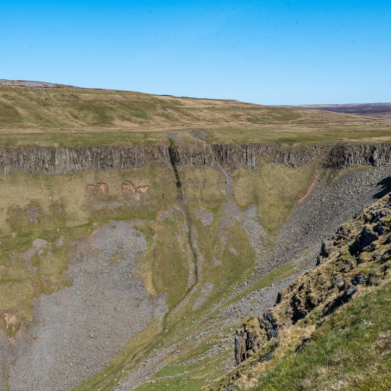
This rewarded me with some great views of High Cup Nick. The streams going down into the gorge and most impressive the stone walls which go almost vertical! At the stile crossing the stone wall where I almost forgot my hat (photo # 23) the path turned away from the gorge which was okay for my orientation. I notice however after a short while that I somehow had to cross the smaller gorge of Middle Tongue. In the distance Murton Pike was a good orientation point (you can see Murton pike in the distance on photo #25). So I simply went straight for Murton Pike without any track (with the down and up at Trundale Gill) until I arrived at the gravel track at Murton Pike again. After the descent in glorious sunshine I reached the car park at 14:30. Altogether, 7 hours which despite the mishaps I enjoyed a lot. The last photo is a look across from the carpark to Mell Fell which is east of Murton Pike Later in the evening when I retrieved my route on the Internet I found out what went wrong. So next time will be better :).


