Panoramas on the Bollihope Road
On my way back from Harehope Quary at Frosterley I wanted to take some panorama shots on the scenic route towards Teesdale. When I drove up from Stanhope there was a weatherfront coming in and it started to rain heavily. Instead of going back to the cottage I had a rest in the car and waited until the weather cleared. If you do not know the area that well and you are wandering about the posts along the left of the road with the red and white markings: They are for the snowplows in the winter to be able to trace the tarmac! It isn´t called England´s last Wilderness for nothing!
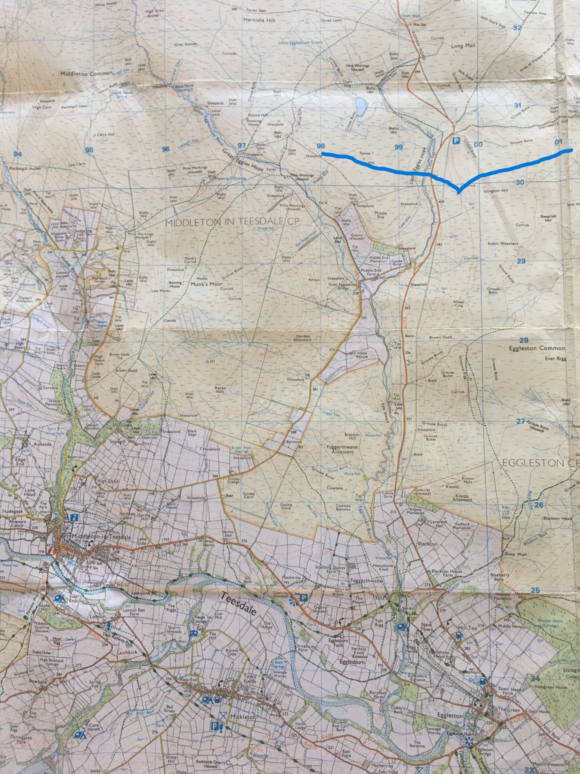
The first panorama "8529" is looking towards Teesdale from the vantage point above the quarry. (map no 1). You can actually see the spot where I later took the second panorama on the horizon where the road is winding up slightly to the left of the centre of the picture. I than walked through the heather towards the quarry and took some individual photos of the beautiful scenery.
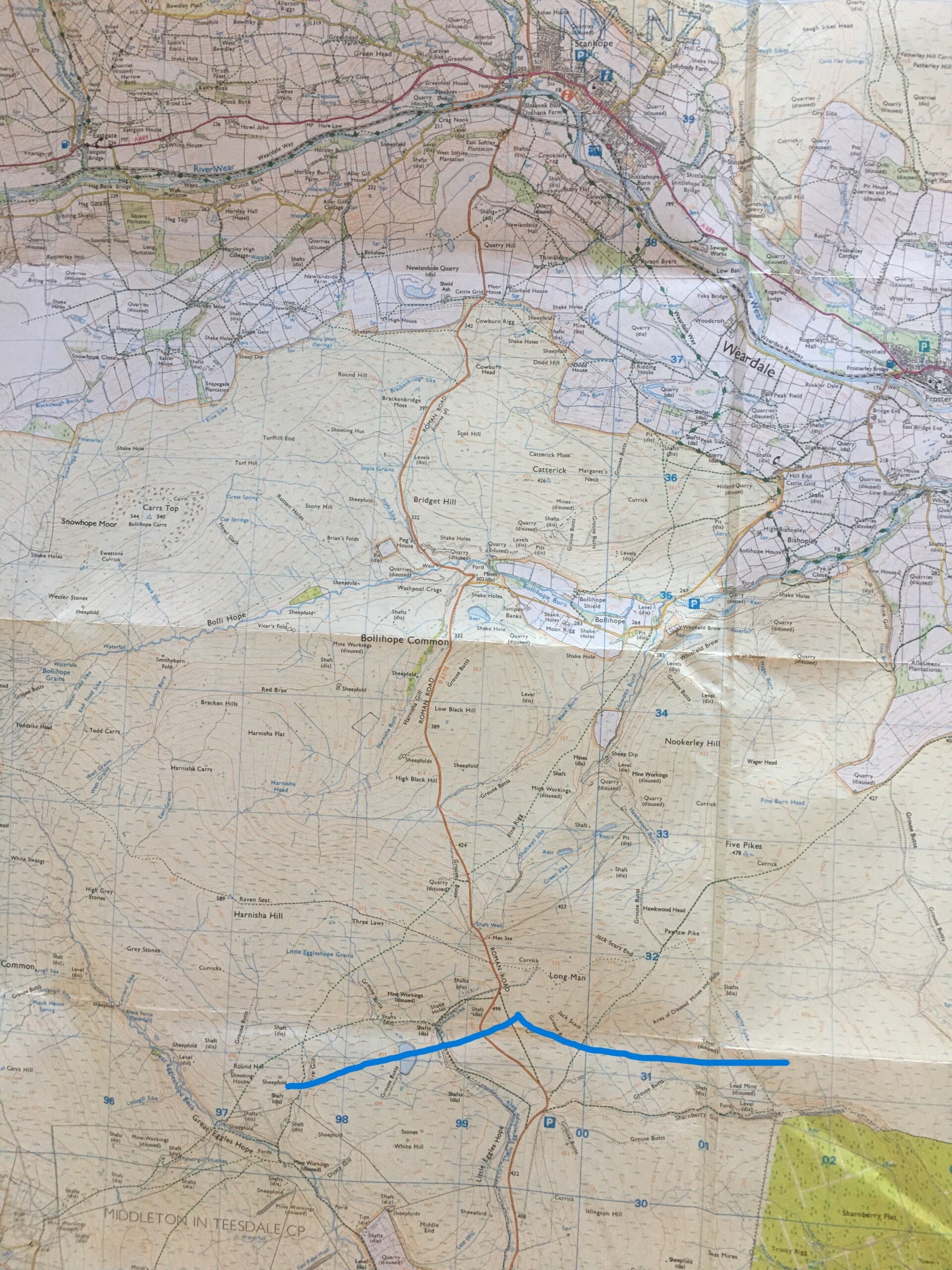
The second panorama "8570" is taken from the height on the other side looking north towards Stanhope (map no 2). When you zoom in on the second panorama Stanhope is hidden down below but you can see in the distance the very steep road "Crawley side" that goes up and finally brings you into Blanchland (in the heather part roughly in the middle between the two green patches). The one but last picture shows a detail of the second panorama with the two small picturesque tarns further down. The last photo on this page is taken later on the decent towards Egglestone with the view across Teesdale, you can see Grassholme Reservoir and Kirkcarrion (at the right of the picture) in the shadow of a cloud.