Scouting in Weardale
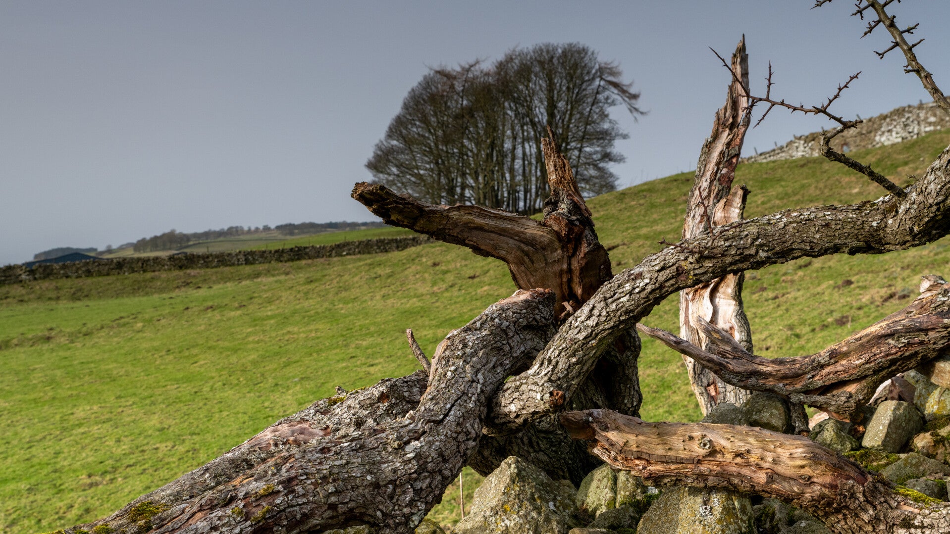
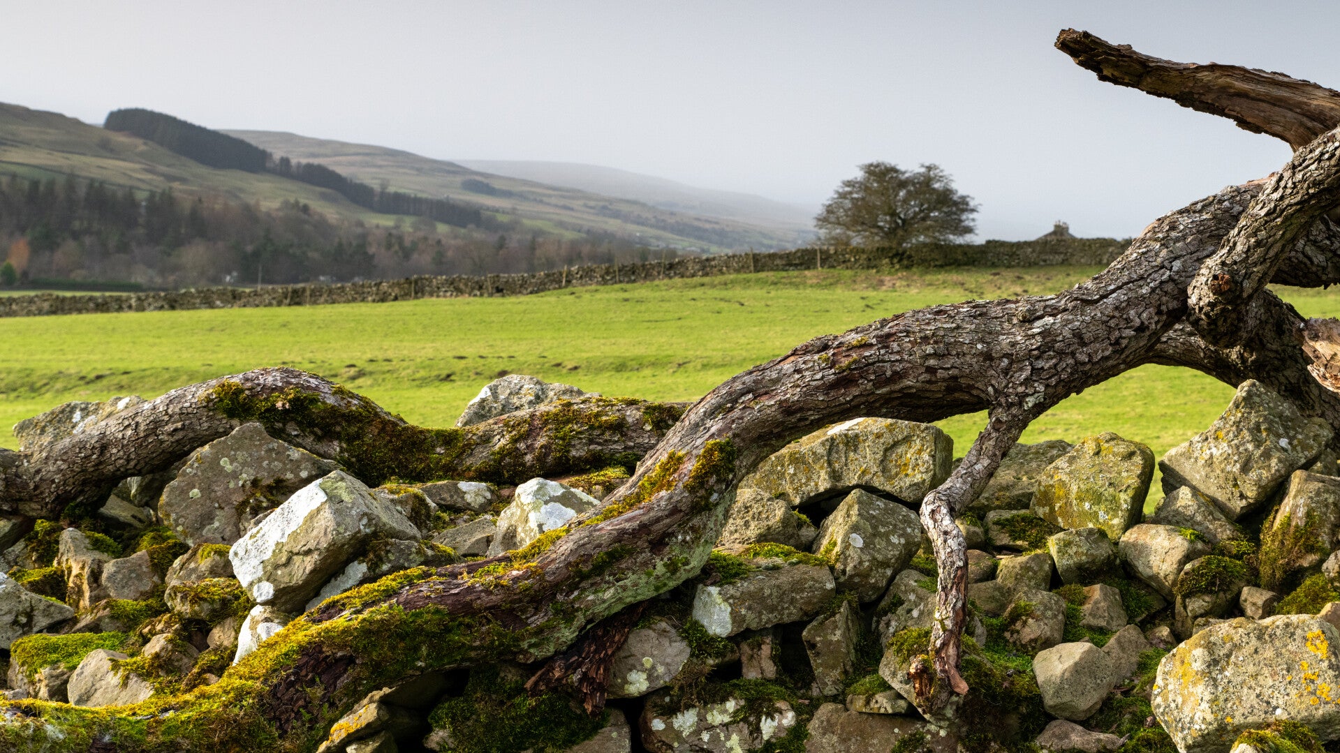
Above Daddry Shield there is a very nice pattern of stone walls on the hillside. I parked where the old "Back Rod" through Weardale starts which was the main road before the A689 was built. A small lane leads up the hill and there is a public footpath through the fields from which you can get good views of the opposite side of the valley (photo no1).
I also noticed waterfalls on the map at Swinhopeburn just before it joins the Wear. I followed the old road and parked at the triangle just before the bridge that goes across the Wear and brings you back to the main road. There is a big car park next to a playing field. It looks like private parking but it is public. From there you can take a small lane leading you up Swinhope Burn. The waterfalls are only a few hundred metres above the road. I took some "sample" shots (photo 2 and 3) which were already tricky to reach and didn´t manage to get down to the most impressive waterfall which is visible through the trees from the small bridge across the Burn. (no shot of it sorry).
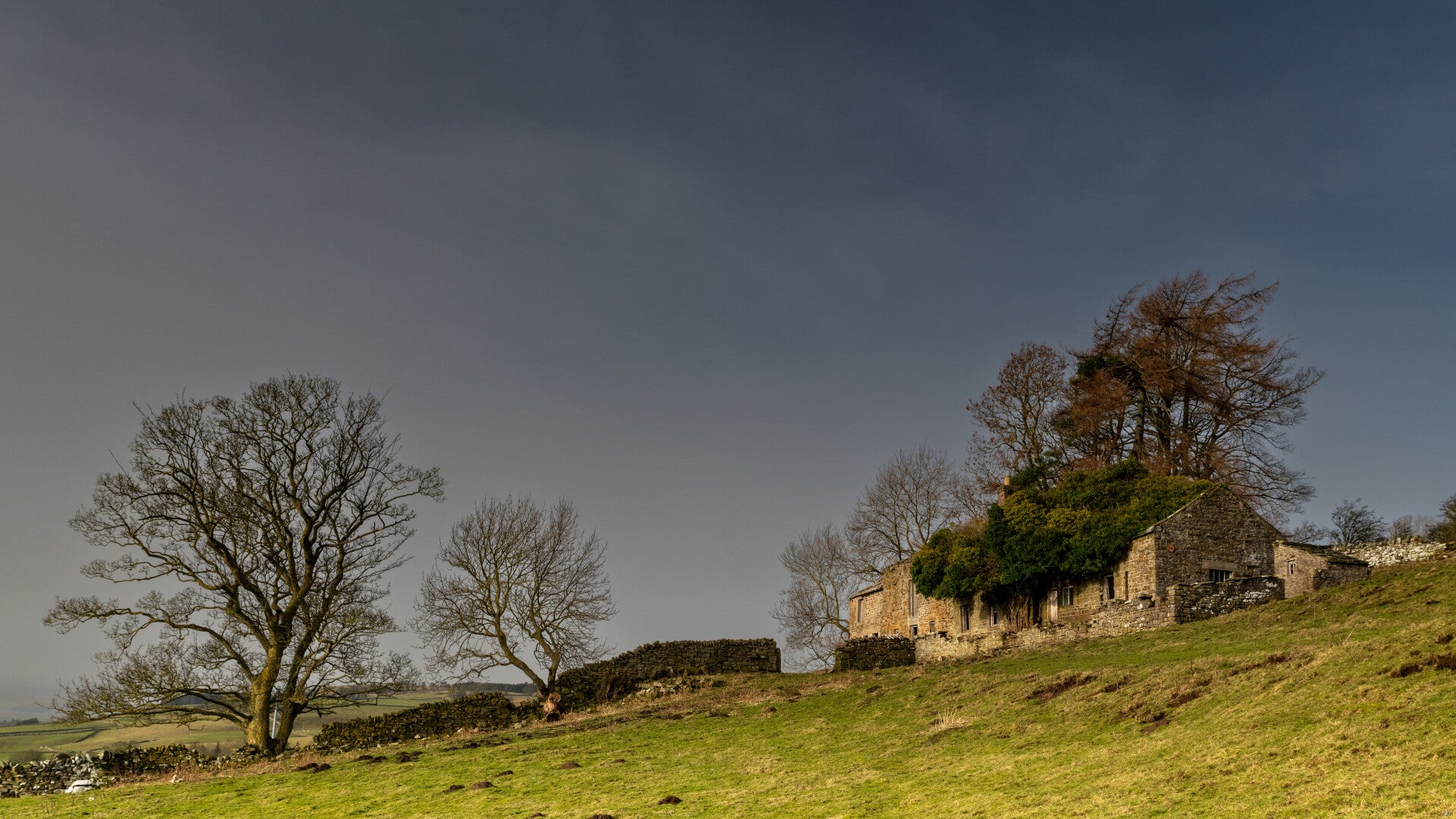
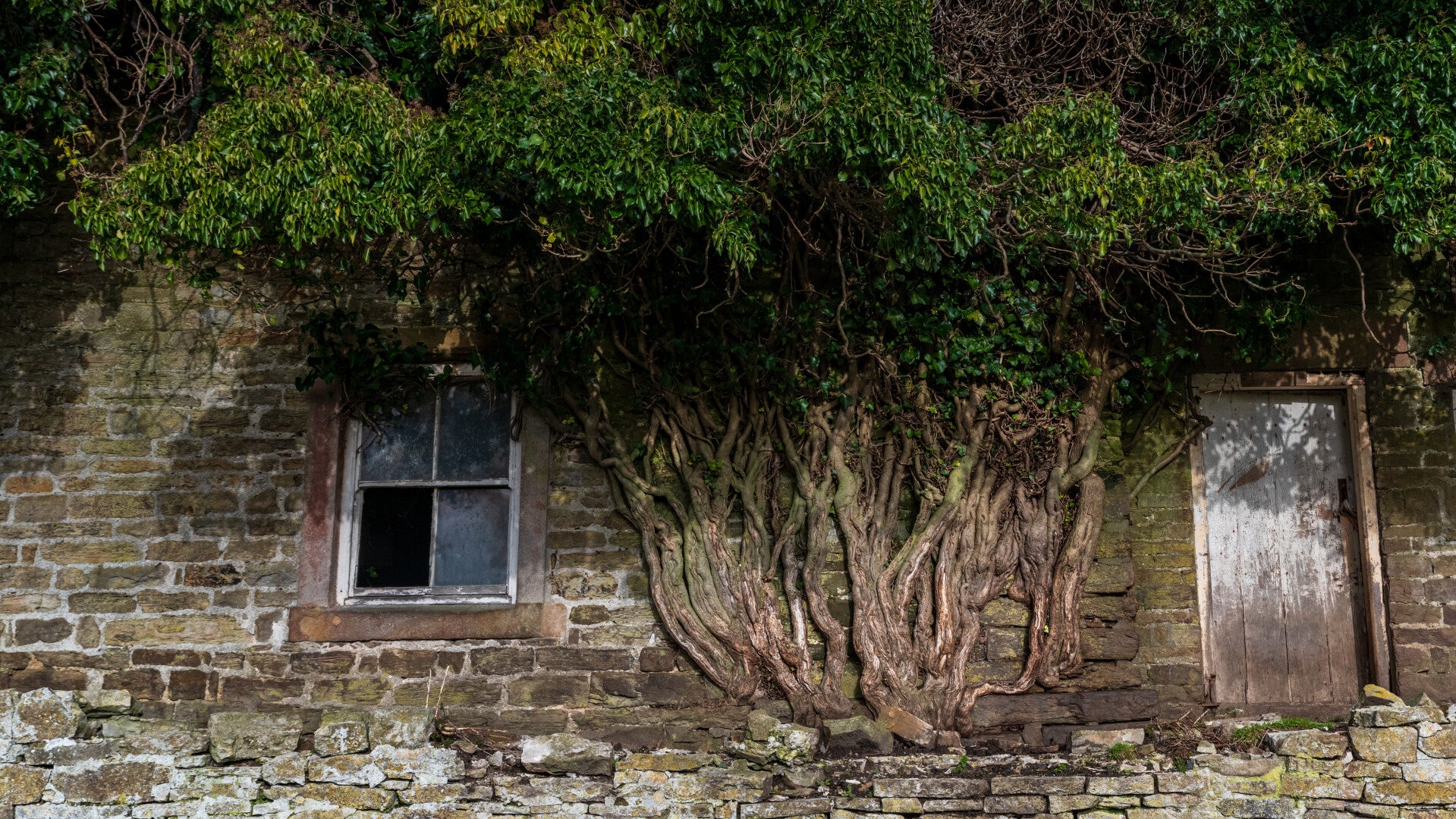
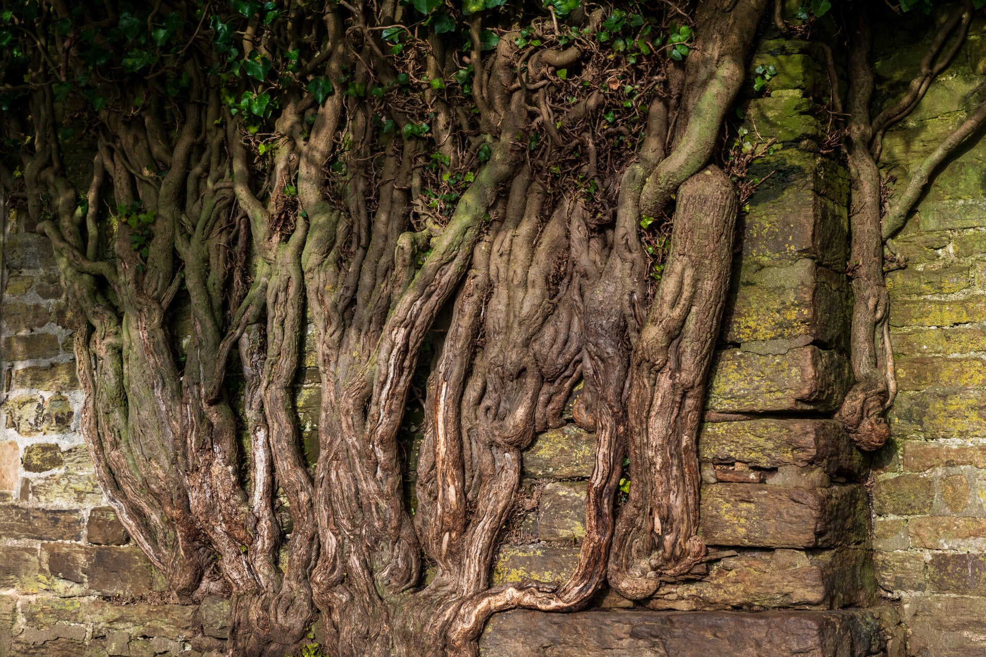
I continued along the old road back towards Stanhope meeting lots of cyclists and joggers since it was Sunday. On the descent towards Stanhope I stopped to take a photo of the opposite hillside where the abandoned farm is located with the tree growing out of it.
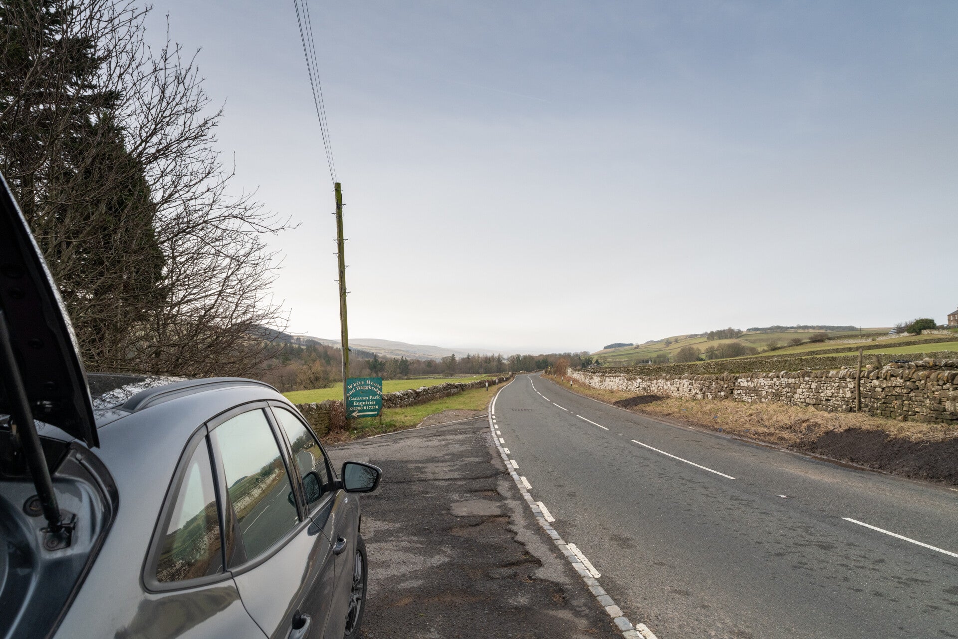
When I took the photo I noticed that there is a second similar farm only a few hundred yards further to the left. (Both visible in the distance on photo no 4). So I made my way there, was able to park in a layby next to a sign for "White House and Hagg Bridge Caravan Park(photo no5). You have to cross the road and walk a few yards back to come to a gate bringing you into the field that leads up to the farm. Please be extremely careful on that road especially on a Sunday!
Visibility and conditions were not ideal but another great place to come back to.